
Tennessee Neighbors Through Block Records
A block search combines records with different roles. A parcel map shows which properties touch or face an address; an assessor record identifies the assessed owner; a voter lookup checks one registered voter; a neighborhood directory points to a group. None of those sources is a statewide list of everyone on the block. Tennessee uses both statewide services and county systems.
| Source | What It Shows About a Block | Access |
|---|---|---|
| TNMap or local GIS | Parcel boundaries, adjacent properties, map layers, and an assessment link | State viewer where available; local viewer in excluded counties |
| TPAD or local assessor | Owner of record, situs and mailing addresses, parcel ID, assessment details | State service for 86 counties; local systems for the remaining counties |
| Tennessee voter lookup | One registration match and related public lookup details | Online form requires county, name, birth month, and birth year |
| Neighborhood group directories | Organization contacts, public maps, or registered group listings | City-maintained pages and each group's own contact rules |
| County Register and assessor offices | Recorded ownership, legal description, parcel, plat, and older index clues | Online index, public terminal, counter, phone, or records request |
Keep owner and occupant separate in your notes. An owner name belongs to the parcel record; a mailing address is where tax correspondence goes; neither proves who is inside a building. A local association's contact page shows the organization it serves, not the names of every household on nearby streets.
TNMap Clicks Show Tennessee Neighbors
Start with one street address in the TNMap Property Viewer, choose the county, and select the parcel on the map. The current viewer lets a user select a parcel directly, then shows basic details and a link to assessment information. Search can begin with an owner, property address, or parcel ID; the advanced controls, layer panel, and print option help check nearby mapped properties and district context.
The statewide map does not cover every county. STS-GIS's application list routes Bradley, Davidson, Hamilton, Knox, Montgomery, Rutherford, Shelby, Sumner, Williamson, and Unicoi to local viewers. No statewide radius or buffer field was located. If a local viewer has no area tool, pan and click the parcels that share a boundary or street frontage, recording each parcel ID instead of treating a shaded shape as a resident list.
The TNMap parcel viewer shows how a selected property and map layers appear. Use the adjacent parcel cards as map evidence, then check the recorded plat or deed when a boundary or ownership detail matters.
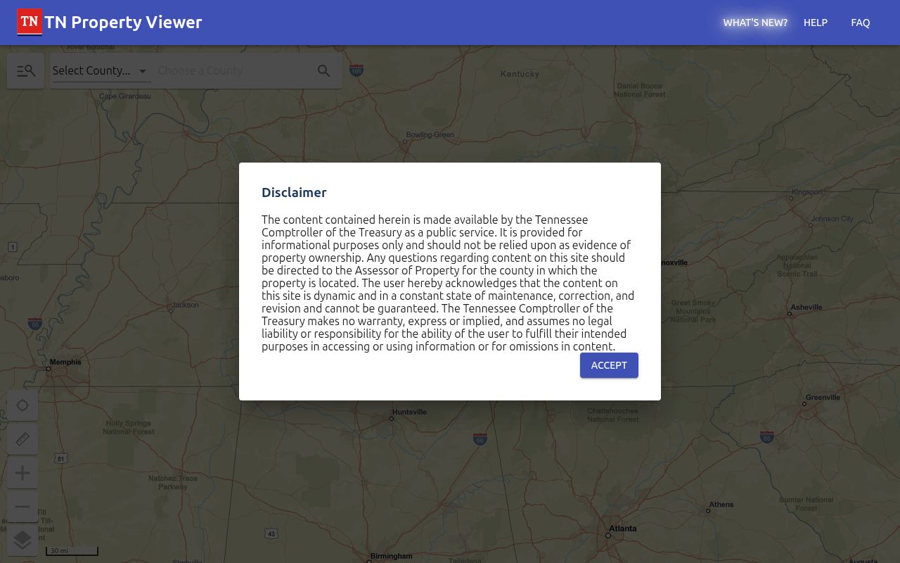
A map edge, driveway, road centerline, condominium boundary, or master parcel is not a title opinion. For the full street-by-street record chain, use the Tennessee street directory walkthrough and keep each county's coverage in view.
Tennessee Neighbors: Assessor Cards
The Comptroller's Tennessee Property Assessment Data service covers 86 of 95 counties; the other nine link to local assessor systems. Search by owner, property address, or parcel ID; advanced controls add subdivision, classification, sale dates, control map, group, parcel, and sort fields.
A sample result can display:
- View, owner, and property address
- Control map, group, parcel, special interest, and parcel ID
- Subdivision, lot, class, sale date, and GIS map link
The result list supports filtering, sorting, and pagination; a detail page may add building sketches or photos. Read physical situs and owner mailing addresses as separate fields. The mailing address can point elsewhere, and a homestead or exemption flag is only a clue about owner use. IMPACT data updates weekly; the deed gives the legal transfer and description.
When a card is missing online, use the Tennessee state directory to find the county assessor or Register. Ask about a public terminal, counter inspection, phone help, or copy request. Give the address and parcel ID, then ask for an existing tax account, plat, or deed reference.
Tennessee Voters, Not a Neighbor List
The Tennessee Voter Registration Lookup checks one person at a time. The form requires a county, first name, last name, birth month, and birth year. A no-match result should lead to checking the spelling and contacting the local election commission, not to a claim that no voter lives at the address.
GoVoteTN has name-and-ZIP and address-and-ZIP paths for a requestor's ballot, polling place, or district details. It is not a public block roster. Tennessee Code Annotated section 2-2-138 allows voter-list requests through state or county election offices under restrictions and production-cost terms; ask the county commission for current fields and access rules.
Public registration records exclude Social Security number, driver's-license number, and Department of Safety ID. Absentee application fields receive additional protection. Safe at Home or other protected-address data should never be inferred from a blank result, and a voter-history field does not reveal a person's ballot choices.
Map Tennessee Neighbors by Parcel
A parcel-first method keeps the search tied to a place instead of guessing a list of people. The assessor and map can help you build a set of nearby properties; each card then needs its own date and owner check. This walk-through works with TNMap or a county GIS, though local controls and layer names can differ.
- Find the address and write down the county, parcel ID, and legal description shown by the map or assessment card.
- Select the parcel, then click the polygons that share its boundary or street frontage. For a corner, include the other side of the road only when the map and county line support it.
- Open each assessment detail and keep the situs address, owner of record, mailing address, and parcel identifier in separate fields.
- Check zoning, flood, school, voting, tax, council, or other available layers for context, and note the source date shown for each result.
- Compare a boundary or ownership question with the recorded plat and deed rather than assuming the drawn line settles it.
Some maps let users draw a custom shape and export a parcel table, while others require the manual click-and-record method. For a condominium, first see whether the system returns a master parcel, unit parcels, or only an association record. The result remains a parcel set, not a census of everyone at each address.
Nashville and Chattanooga Association Lists
Neighborhood directories point to local groups and contact routes, not a complete map of residents. Nashville's Planning Department lists groups such as 12South, 16th United, Arden Place, Donelson-Hermitage, Eastwood, Inglewood, The Nations, Salemtown, Sylvan Park, and Woodbine. The Mayor's Office accepts registration or updates from associations, watch programs, homeowners groups, resident or condominium associations, and coalitions.
| Community source | Public route | What the listing means |
|---|---|---|
| Nashville Planning neighborhood links | City-maintained directory of association and civic links | Organization contacts and links; not a member census |
| Nashville Mayor's Office registration | Public registration and update route for neighborhood and civic groups | Group information; no public household roster is promised |
| Chattanooga Neighborhood Services | Association map and registered-group list, plus start or register guidance | Official group support; published page does not state member rosters are public |
The Nashville neighborhood and civic links page is the source for this organization inventory.
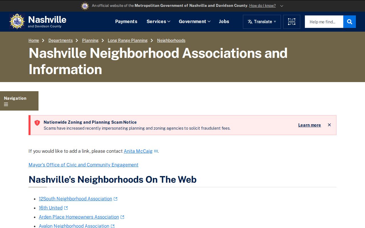
Use the page as a route to organizations, not proof that a nearby household belongs to one of them. Chattanooga Neighborhood Services offers an association map, a registered-group list, and guidance for starting or registering a group. Its listed office is at 6098 Debra Road, phone 423-567-5389, open Monday through Friday, 8 a.m. to 4:30 p.m.; the page does not promise member names.
The Chattanooga Neighborhood Services page provides the city's association map and group routes.
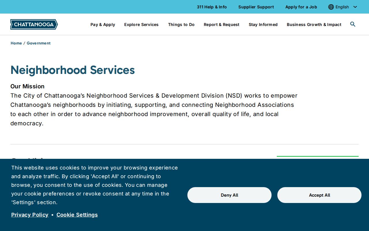
That route identifies neighborhood groups and services; the map does not serve as a roster of nearby residents.
Tennessee Community Lists and Privacy
Groups set their own membership and contact practices. A church, veterans' or fraternal organization, neighborhood watch, civic club, alumni association, or homeowners association may publish a contact page without opening its full membership. A missing name on a city list is not evidence that someone is absent from the block.
Use a group source for its stated purpose and confirm whether an old link is current. Keep its date and geographic scope beside your notes. County map layers may add zoning, flood, road, school, voting precinct, council, overlay, land-use, or tax context; they explain place and jurisdiction, not who lives inside a boundary.
Tennessee Records vs. Neighbor Tools
Official sources name the office responsible for a record. Commercial neighbor-search services compile public-record, property, and marketing data. Treat a profile as a lead, not a replacement for the parcel map, deed, or custodian's current record.
| Channel | Useful signal | What to verify |
|---|---|---|
| County GIS and assessor | Parcel boundaries and assessed owner details | County coverage, record date, situs versus mailing address, deed and plat |
| Election office | One public registration lookup or a formal voter-file route | Exact-match fields, county, protected fields, current access conditions |
| Neighborhood association | Group identity and public contact path | Area served, date, and whether it publishes contacts only |
| Commercial neighbor-search category | A compiled lead drawn from several data sources | Same-name errors and every underlying official record |
For an address question, start with the official parcel record and confirm ownership with the deed. A compiled profile can merge similar names or old addresses, so it does not prove who lives nearby.
Tennessee Neighbor Search Privacy
Property records show assessed owners, not every household member. Utility and delivery customer lists are not public, and federal law protects personal information in driver records. Sealed court, adoption, vital, and victim records stay outside a public block search. Do not guess why an address is absent from a lookup.
Tennessee's Safe at Home program gives qualifying participants a substitute address at no cost, but it does not delete older records. Protected voter and absentee fields have separate rules. Ask the county custodian how to correct a record or inspect an existing document. A Tennessee Public Records Act request can seek an existing record, but it does not make an office create a new street roster.
Respect privacy. Use block research for civic awareness, reconnecting, or personal curiosity. Do not use it to stalk, harass, intimidate, or expose a protected person.
Record only the details needed to answer the question, preserve the source date, and verify important ownership claims with the county Register of Deeds. That keeps a Tennessee neighbor search grounded in what each public record actually says.